- Bot Box
- Posts
- How This AI Tool Helps You Predict the Next Real Estate Boom🌎
How This AI Tool Helps You Predict the Next Real Estate Boom🌎
Use this in to shape the world
Uzman Ali
October 27, 2024
Today, Google Maps has become a necessity of daily work life. We use maps to navigate offices, roads, traffic, hospitals, shortcuts, etc. But this new Google AI tool leaps forward and enters into the tech/business world.
Yes, Google’s new AI-powered tool ‘Open Buildings 2.5 D’, might give you that edge.
This AI tool helps you select any area on the map of the world and instantly reveals the number of buildings and estimates their height over time.
Which in turn helps you predict many amazing things. So, let’s deep dive into:
What is this tool?
How it works?
And its many benefits including real estate.
Table of Contents
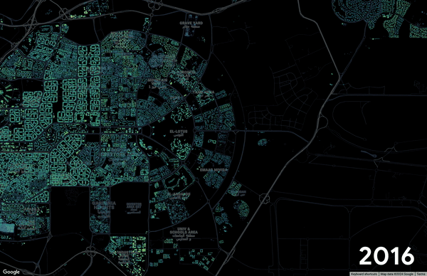
Open Buildings 2.5 D predicting throughout years— gifs source
What is ‘Open Buildings 2.5 D’
The initial release of this tool, which was developed by Google, occurred on 17 October 2023.
The tool is designed to identify and map buildings in 2D using satellite imagery and AI models. The aim was to improve urban planning and help provide disaster response by giving accurate building footprints in areas where data is not available.
How does ‘Open Buildings 2.5 D’ actually work
As explained above, this tool creates a map for an audience with the help of satellite images and AI algorithms. The amazing thing is in their map they not only show where things are but also highlight how tall buildings and places are.
To help you visualize this, think of yourself drawing a city from above, but instead of simply drawing flat shapes, you include the heights of the buildings.
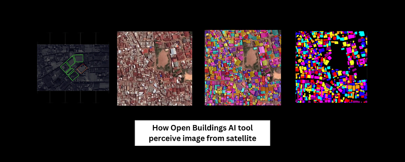
Created by Author
For example — If you search for New York City on Open Buildings 2.5 D, this tool will help you see data on NYC which will tell you:
Total number of buildings in that specific area
How tall buildings are (grown in the past few months)
Which areas might be ready for new construction, and much more
Now understanding the pattern, one can predict areas where several buildings and their heights are increasing rapidly.
This is a clear indicator of the areas where people are buying and building, which in the end shows real estate potential in that particular area.
Open Buildings 2.5 D use case in today’s world
Now this AI tool also covers a massive 32 million+ square kilometers across Africa, Latin America, and Asia.
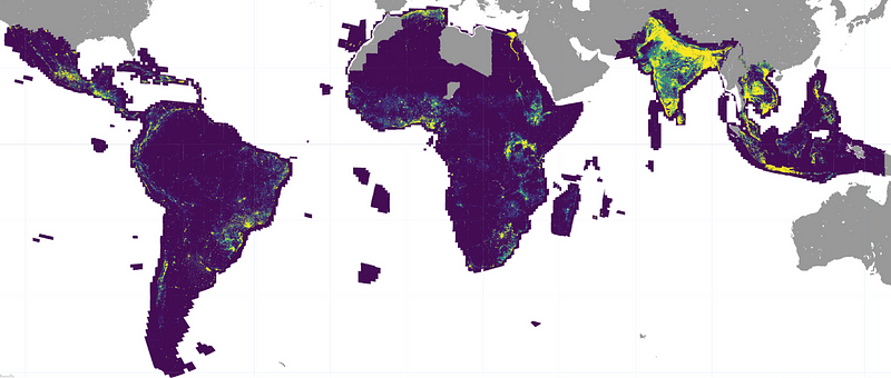
The Open Buildings 2.5D Temporal Dataset coverage across the globe — source
Basically, with the help of satellites, this Google tool leverages images to provide unprecedented insights into urban growth patterns. Which ultimately helps find patterns of rapid urban growth before they hit the mainstream radar.
And figure out where the next big infrastructure projects will move.
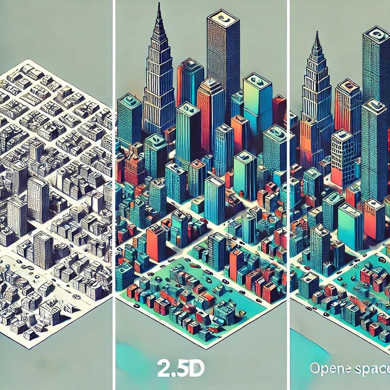
An AI-generated Image by the Author
With this tool, one can easily find under-developed areas in many African and Asia countries, where even basic electricity facilities are not available.
One can also pinpoint war zone areas, and understand situations more closely like in Palestine.
Enjoy the newsletter? Please forward this to a pal. It only takes 18 seconds. Making this one took me 12 hours.
New around here? Join the Newsletter (It’s free).
Reply